Planning A Bike Tour

I have been planning bike tours for myself and my group of friends for the last few years and find a lot of joy in coming up with fun trips.
Where to Go

Lake Wenatchee was a scenic destination for this trip, which left from Leavenworth - Wenatchi and Yakama lands.
What natural or cultural wonders are within a manageable radius of the starting point?
Are there any scenic or dedicated bikeways or trails in your area? With bike touring, the journey is more special and important than the destination… But it helps if the destination is cool, too.
We Are All on Native Land
No matter where you go, you are likely on land that was stolen through violence or coercion from indigenous peoples. It is important to acknowledge the sovereignty of these people, and to learn more about their living cultures. Native-Land.ca is a digital map that approximates the extents of many indigenous peoples throughout the world. Check it out and learn more about whose land you are on!
How to Get There

The Ride with GPS interface
If you are starting out, or attempting first trip, it might be a good idea to either start small (under 30 miles/50 km each way), or connect with other cyclists that can show you the ropes. There is no award for cyclists who subject themselves to the most pain and hardship. Bike touring should be fun!
Are there local bike clubs, shops, or organizations that could help you plan a route?
WTF Bikexplorers has a Grassroots Rides Series, where WTF cyclists around the world plan routes and invite the community to join them.
Explore Ride with GPS where people all over the world have published routes. I like to find 80-100 mile loops in pretty places, and then find campsites that break up the ride over several days.
Elevation Profiles
Elevation profiles can be found with the Google Maps cycling feature, Ride with GPS, and many other mapping tools, and show the rise and fall of elevation across a given route. The amount of climbing along a route will greatly effect how far you will be able to travel. Every body will respond different to variations in terrain, weather, and climate, but understanding the amount of elevation profile before you leave can set reasonable expectations, and help you plan for food, water, and rest needs. For example, the elevation profile below is from the Chilly Hilly, an annual fundraising ride on Bainbridge Island outside Seattle. The route is 33 miles with 2,191 feet of elevation gain. This route has a maximum elevation of 225 feet (around mile 23), but because of the many steep climbs throughout the ride, this route will be strenuous for even a super-fit cyclist.

The elevation profile below is from a part of the Olympic Discovery Trail on Washington’s Olympic Peninsula. The route is 53 miles with 2,646 feet of elevation gain. The maximum elevation is almost 1,500 feet above sea level, however because the elevation gain is so much more gradual, and nearly the entire last half of the ride is downhill, this is a much less strenuous ride. I have done both of these rides, and can attest to it!

Where to Stay
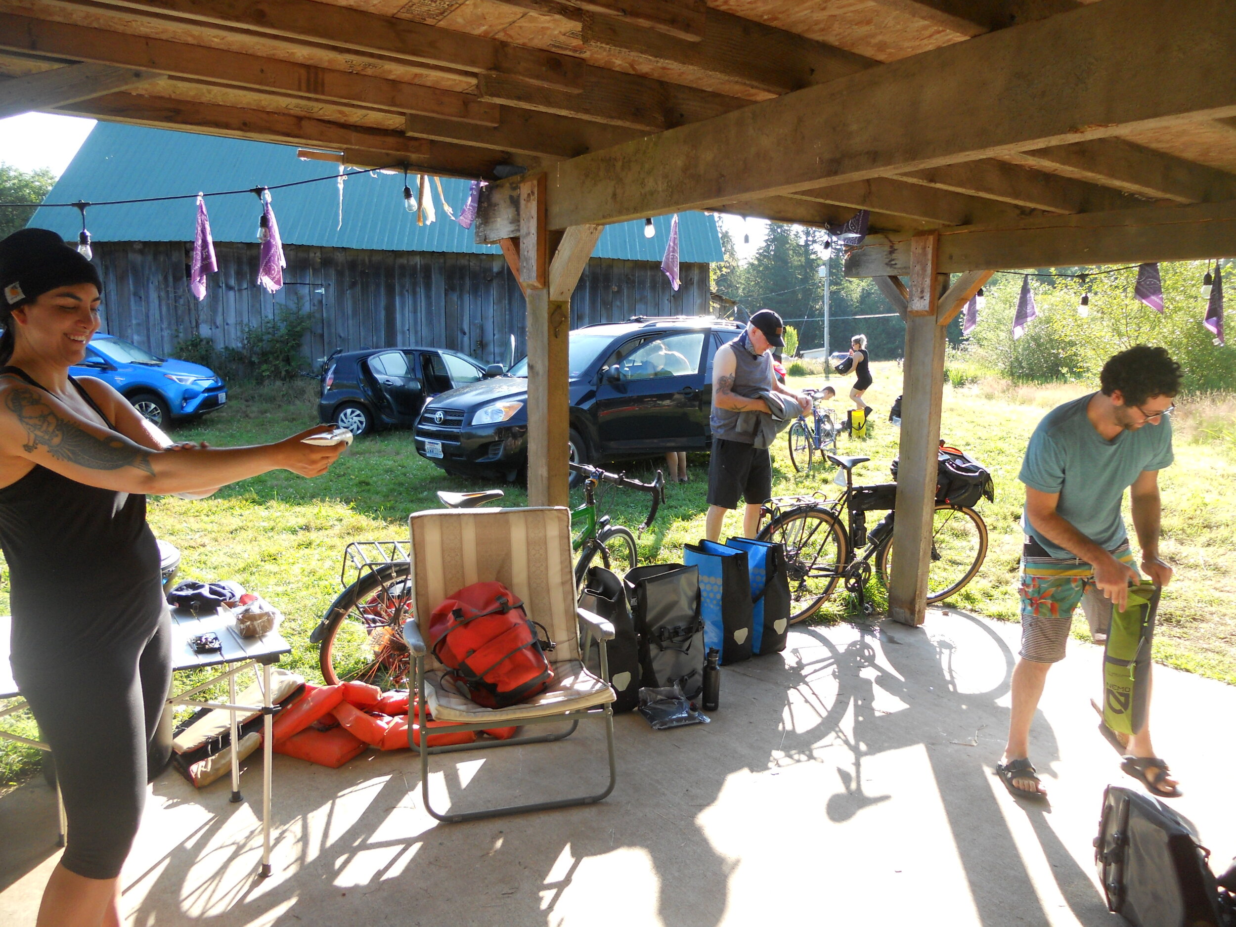
We found this rad horse ranch with an outhouse and outdoor kitchen on Hipcamp - Klallam lands.
Hopefully there are public campgrounds available along the preferred route, and while it may not seem like it, often there may be several different agencies regulating land in a similar area. In the US, campgrounds, cabins, and yurts are managed by agencies like the National Parks Service, the US Forest Service, and the Bureau of Land Management, as well as state parks, state forests, county parks, and city parks. It is usually fairly easy to find public land and campgrounds by surveying the area online.
If staying at a public campground is not possible, or is unappealing, here are some other resources to find a place to pitch a tent and rest up:
Hipcamp is an online platform that offers campsites and glampsites.
Warm Showers is a nonprofit online platform that allows cyclists to host other cyclists.
I do not recommend Couchsurfing because the company does not take user safety seriously. On two occasions I reported sexual harassment to the company, and they not only dismissed the concerns, but allowed the perpetrators to stay on the site. From what I have heard from other users, this is not uncommon.
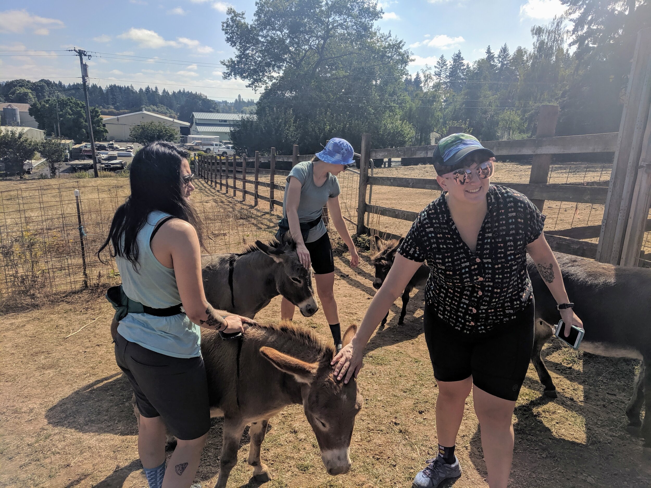
Have Fun
Holy cannoli, have fun… Cycling should be fun, bike touring should be fun, so do things that feel fun. Petting zoos, breweries, awesome burgers, skinny-dipping, and arcades. Whatever you want to add to your trip to make it more memorable, silly, and meaningful is up to you and your crew. Be creative and roll with it.