Valle Diaries: Svalbard

I ventured to Svalbard, at 78 degrees north in mid-October in search of the Northern Lights and some arctic adventure! Sunrise: 9:49AM Sunset: 3:43PM Yeah… You read it right… Only a handful of daylight hours, and that was when I was there in mid-October. Right now in mid-November the sunrise is 11:44am and the sunset is 12:44pm!!! It made me really sleepy, not to mention the freezing temperatures and hiking all day; so I was hibernating like a polar bear when I wasn’t hiking on glaciers!
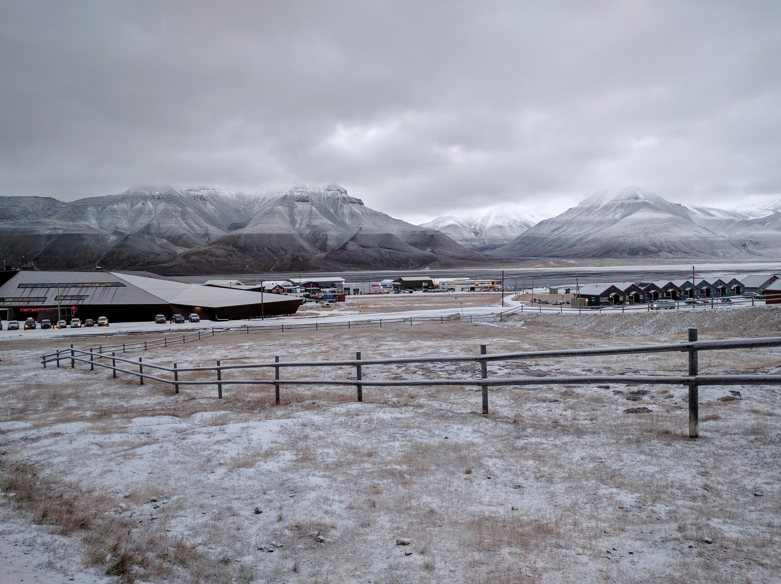
Svalbard has an interesting history, look it up on the map, you can’t scroll up any further than that! Sitting about 1300km (800 miles) from the North Pole, it is a frigid series of islands that do not seem not to want people on it. The islands would be more aptly described as a series of glacial valleys and fjords… There are mountains towering above you everywhere you look. Longyearbyen is the biggest settlement on Svalbard, and the hub for a lot of tourism. The Spitsbergen island of Svalbard was originally documented by the Dutch explorer Willem Barentsz while he was attempting to find the ‘Northwest Passage’ — what arctic explorers during the late 19th century thought would the northern shortcut to trade with Asia. Barentsz, and the other crazy Norwegian arctic explorers of his age are well-documented at the Fram Museum in Oslo, if you have any future interest. Svalbard continued to be a site for other polar explorers, as well as scientists, whalers, and trappers. Eventually coal was found near Longyearbyen, and several mines were being operated by Norway, Russia, and others. The mining activity and disputes over the mineral rights created a need for formal government in Svalbard. In 1920, the Svalbard Treaty was written and signed at Versailles as part of negotiations after World War I. There are now over 40 signatories to this agreement which grants Norway sovereignty over the islands, but stipulates that Norway must treat all of the signatories equally, all signatories are allowed to live and work in Svalbard without a special visa. Taxes are only allowed to support Svalbard directly, and so are much lower than on mainland Norway, and some things are not taxed at all.
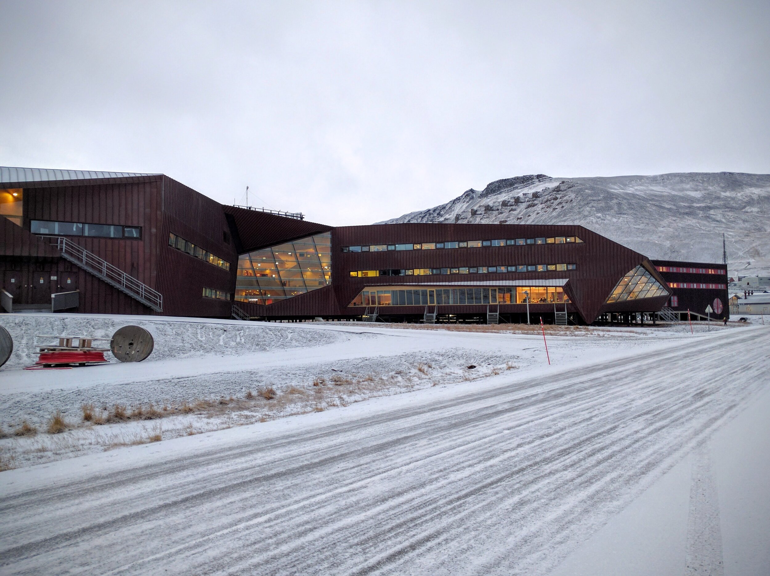
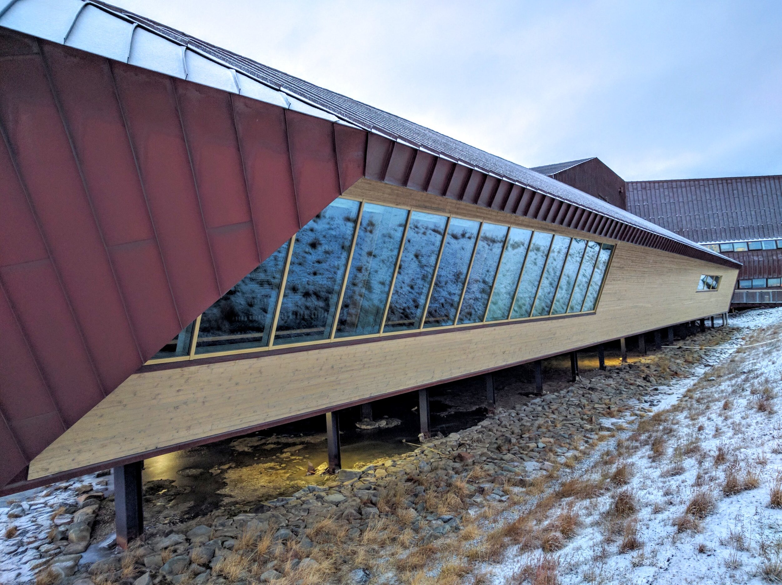
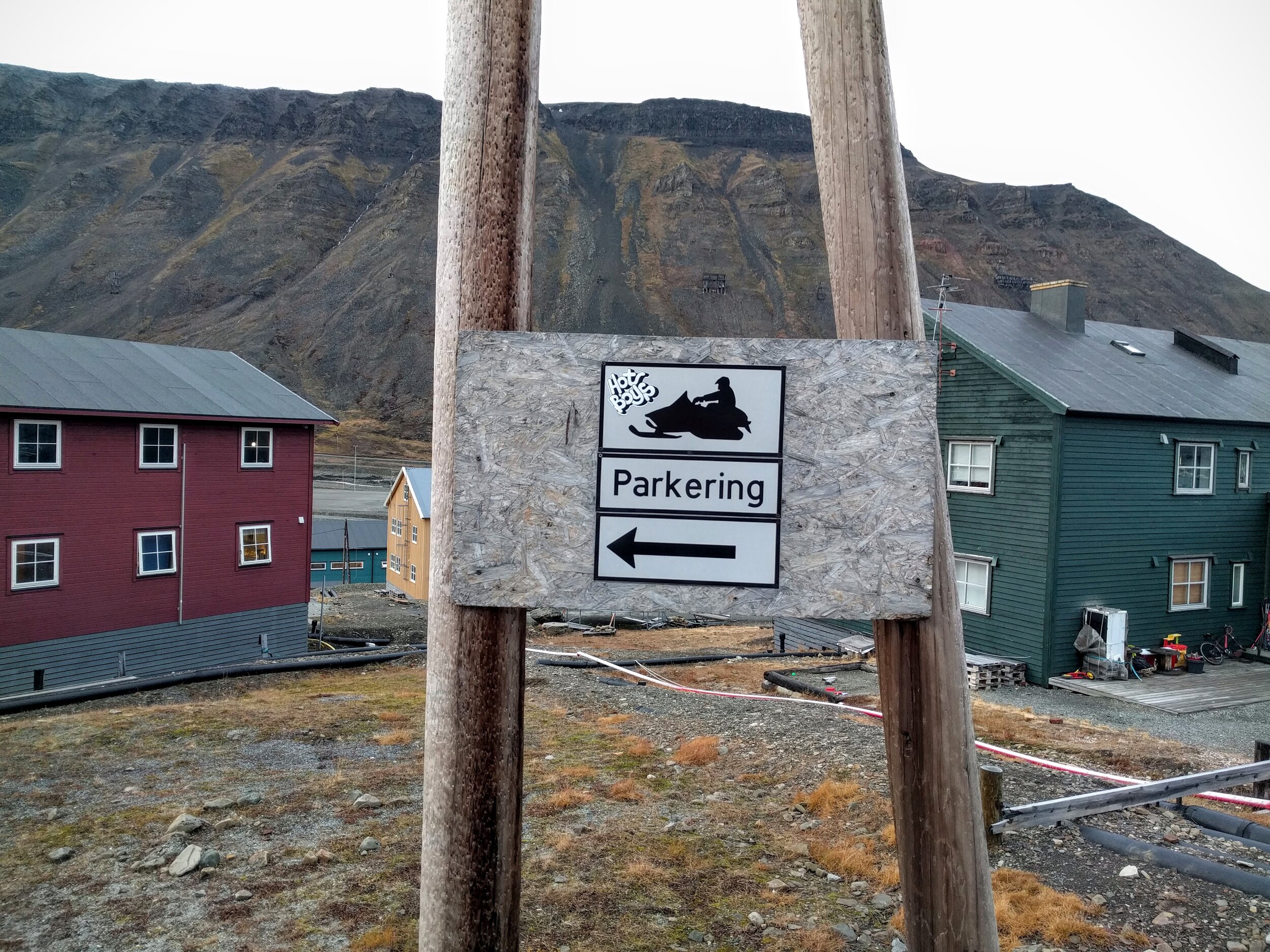
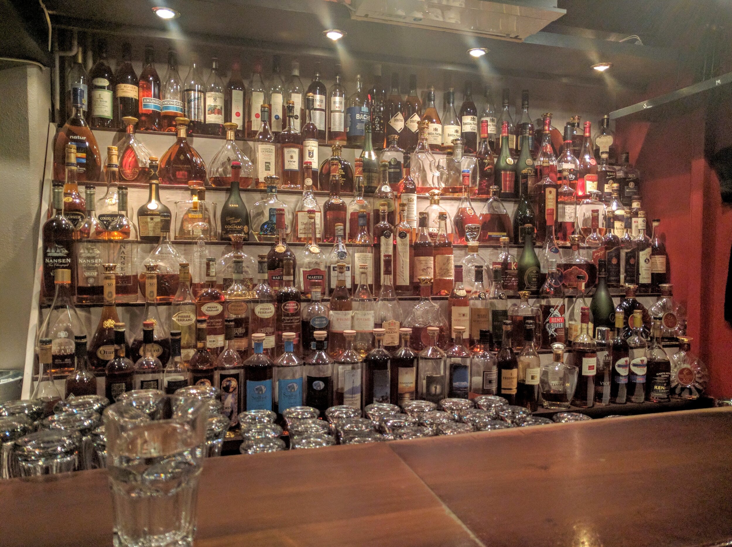
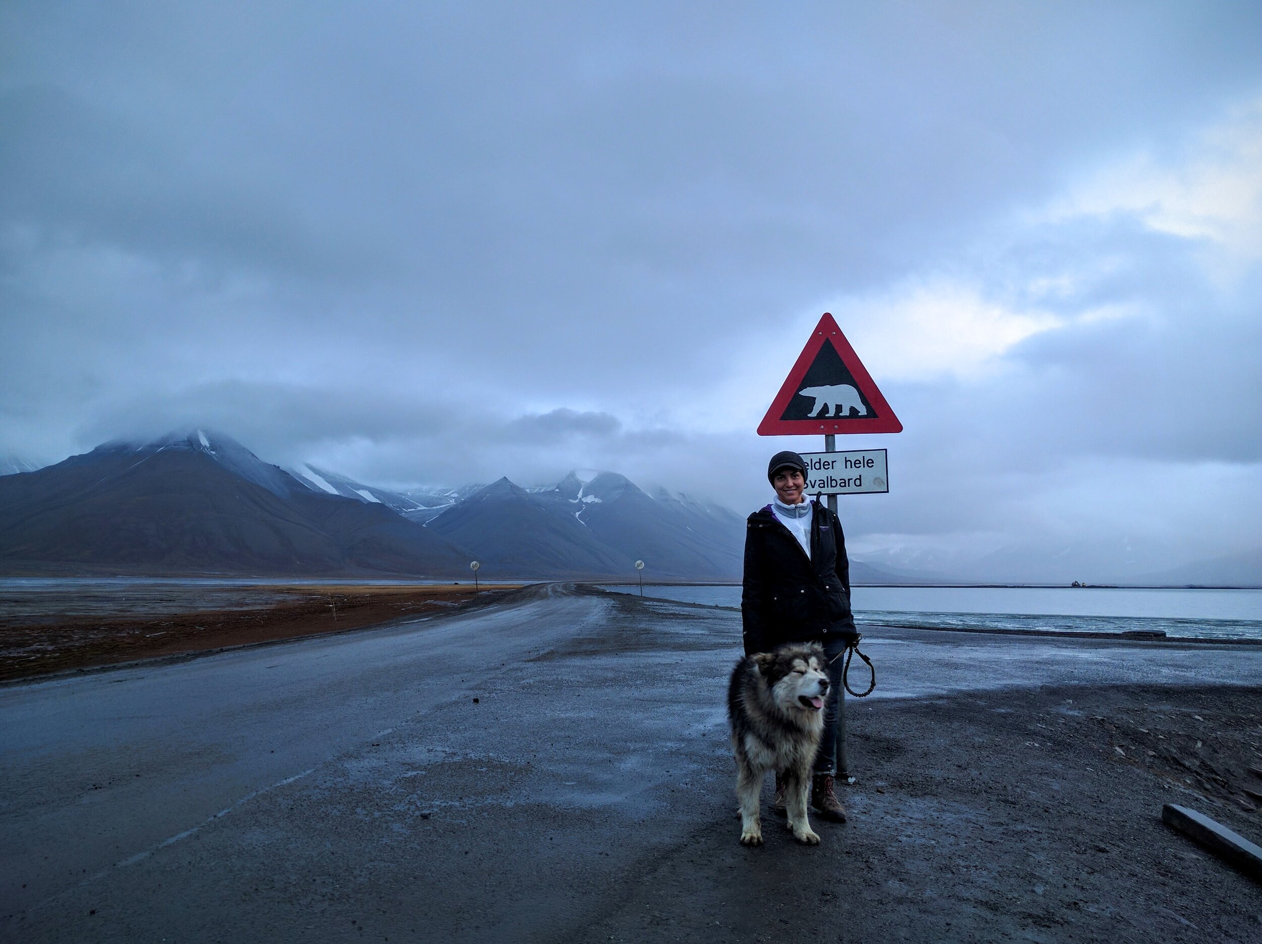
Travel to Longyearbyen was intimidating for me because there is not a ton of information or photos on the tourist website, but it’s actually all very simple once you arrive — it is Norway after all. Everywhere in town has wifi and accepts credit cards, and you can get more information and book excursions at any hotel, gear store, or the tourist center near the Svalbard Hotel. It is highly recommended to book guided excursions because of the very real threat of polar bears. While attacks are not common, many of the guides I talked to have had encounters with polar bears while outside of the town limits. It is recommended to have a flare gun and rifle with you outside of the city limits, but you can only use your own rifle if you register with the governor and have your police record on hand… So it’s really just better to hire a guide with a rifle.
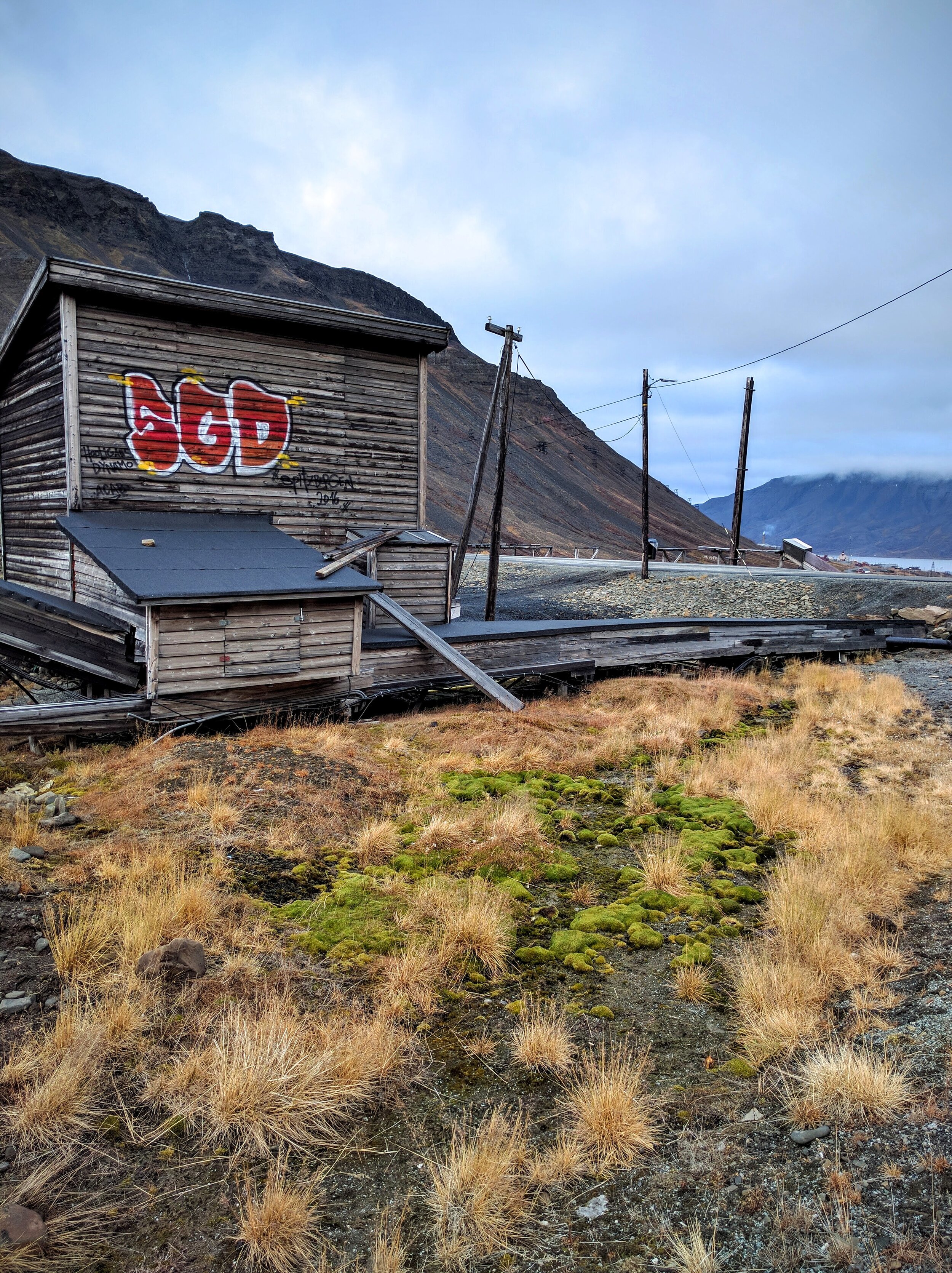
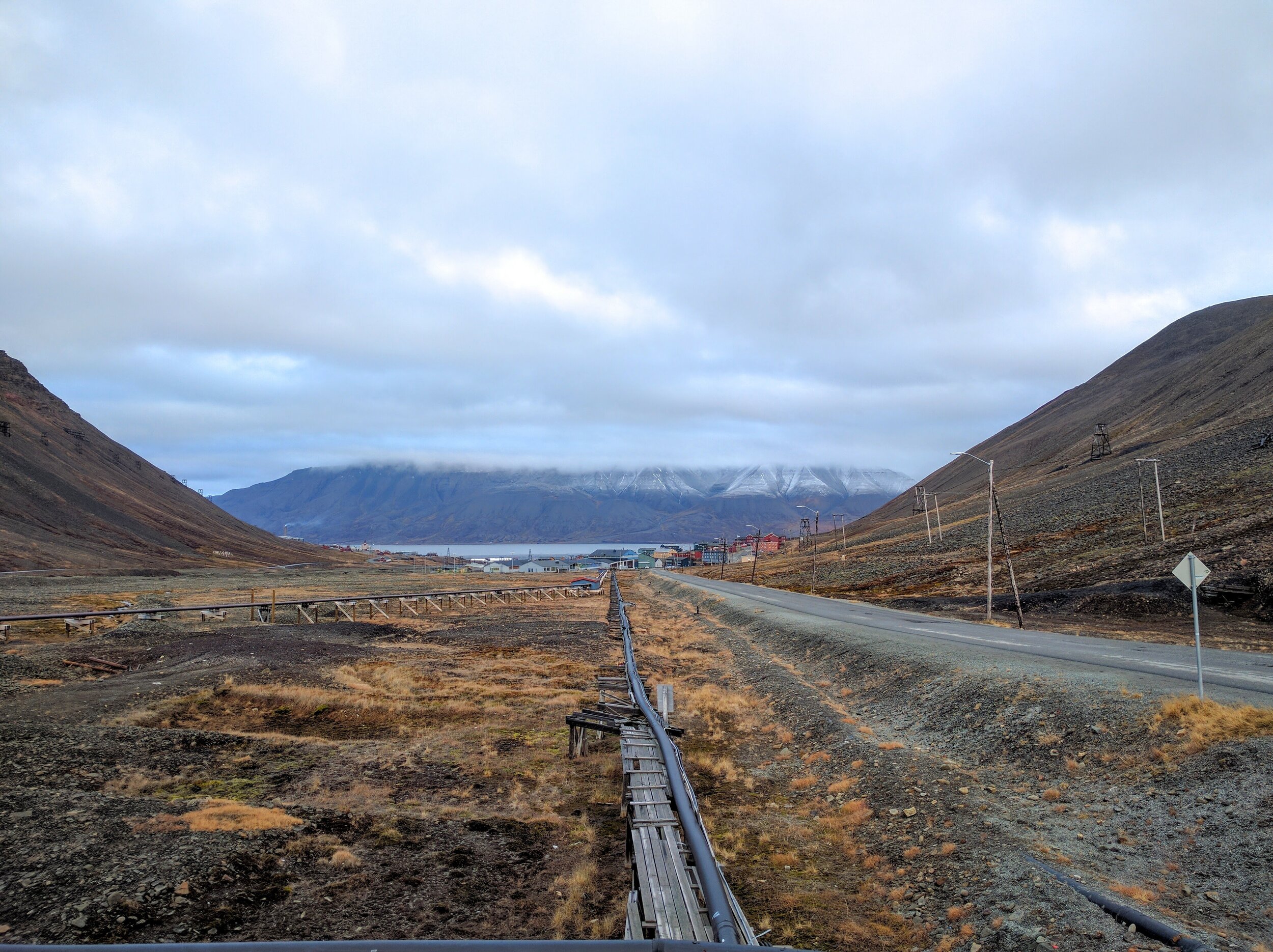
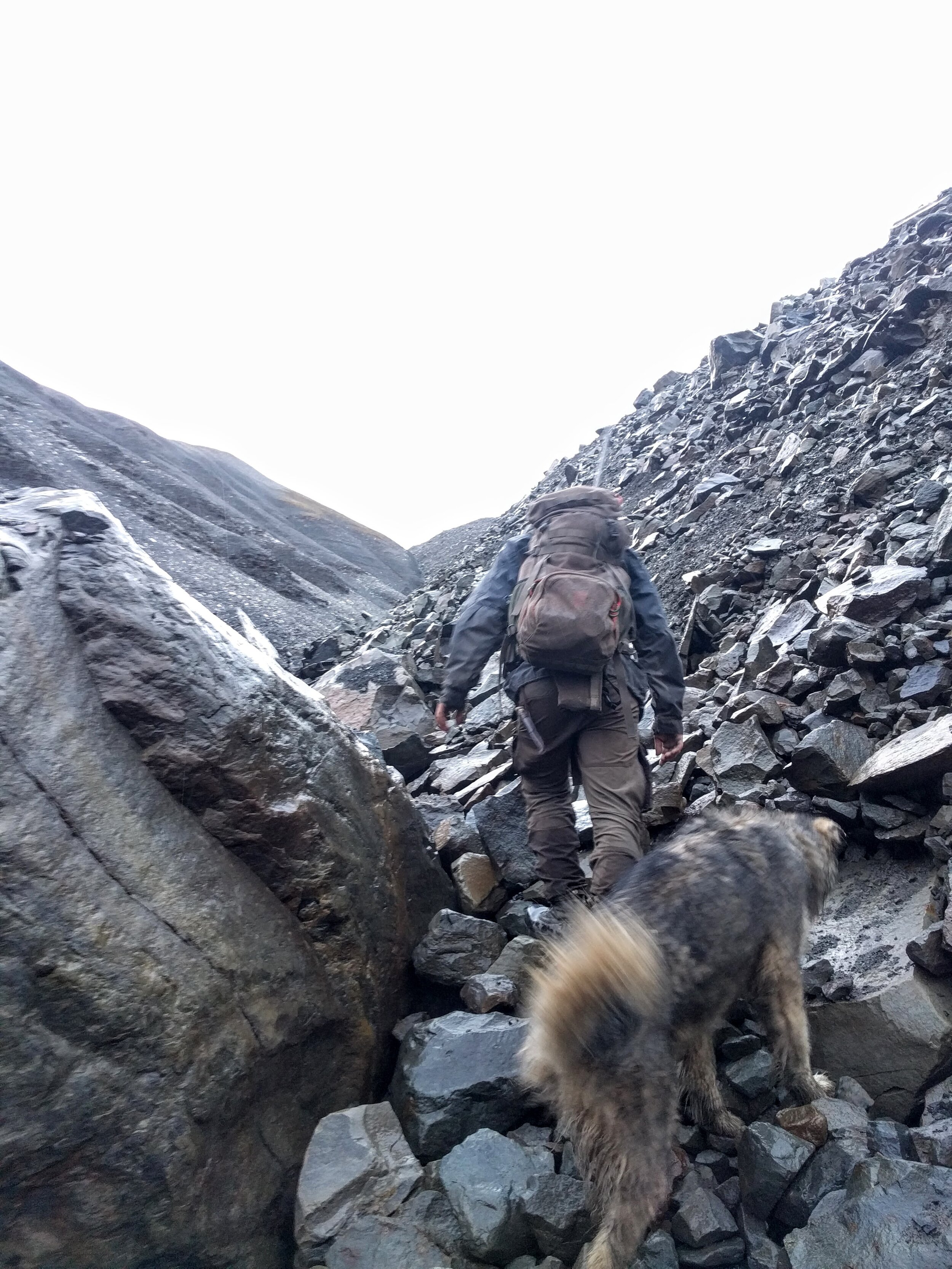
I noticed around town that all of the infrastructure is above-ground, and you will notice in the photos from my hikes that there are no trails anywhere. Permafrost and the harsh climate make constructing water and gas lines, sewer lines, or trails impossible. Everything about this island is attempting to push humans out — the predators, the climate, the unreal effort it takes to eke out an existence. I have never felt so small as a human being.
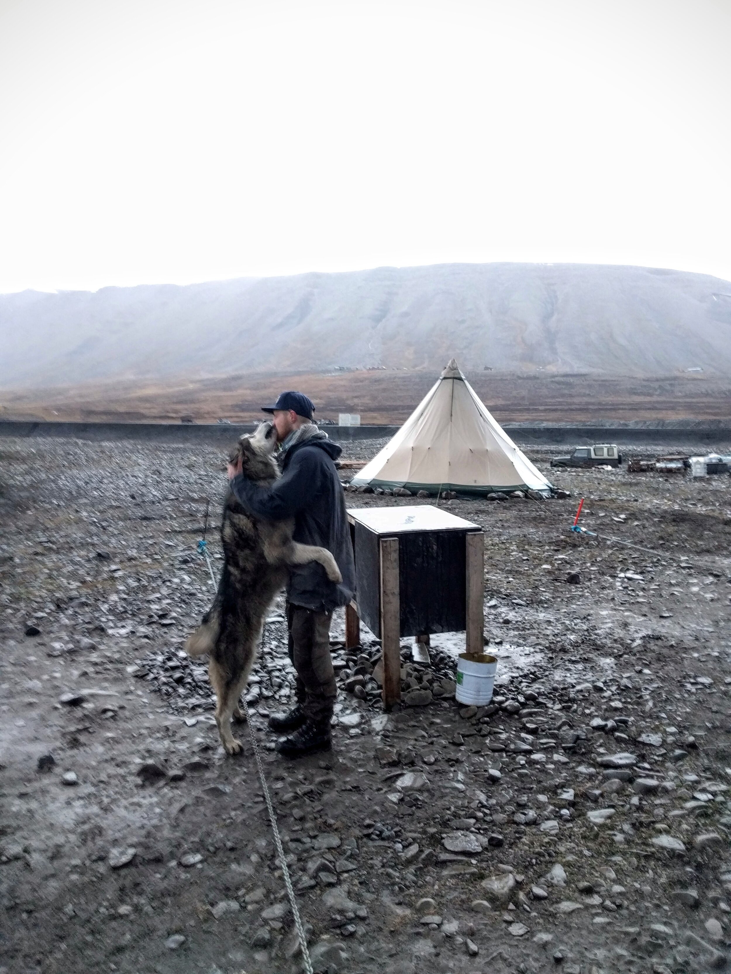
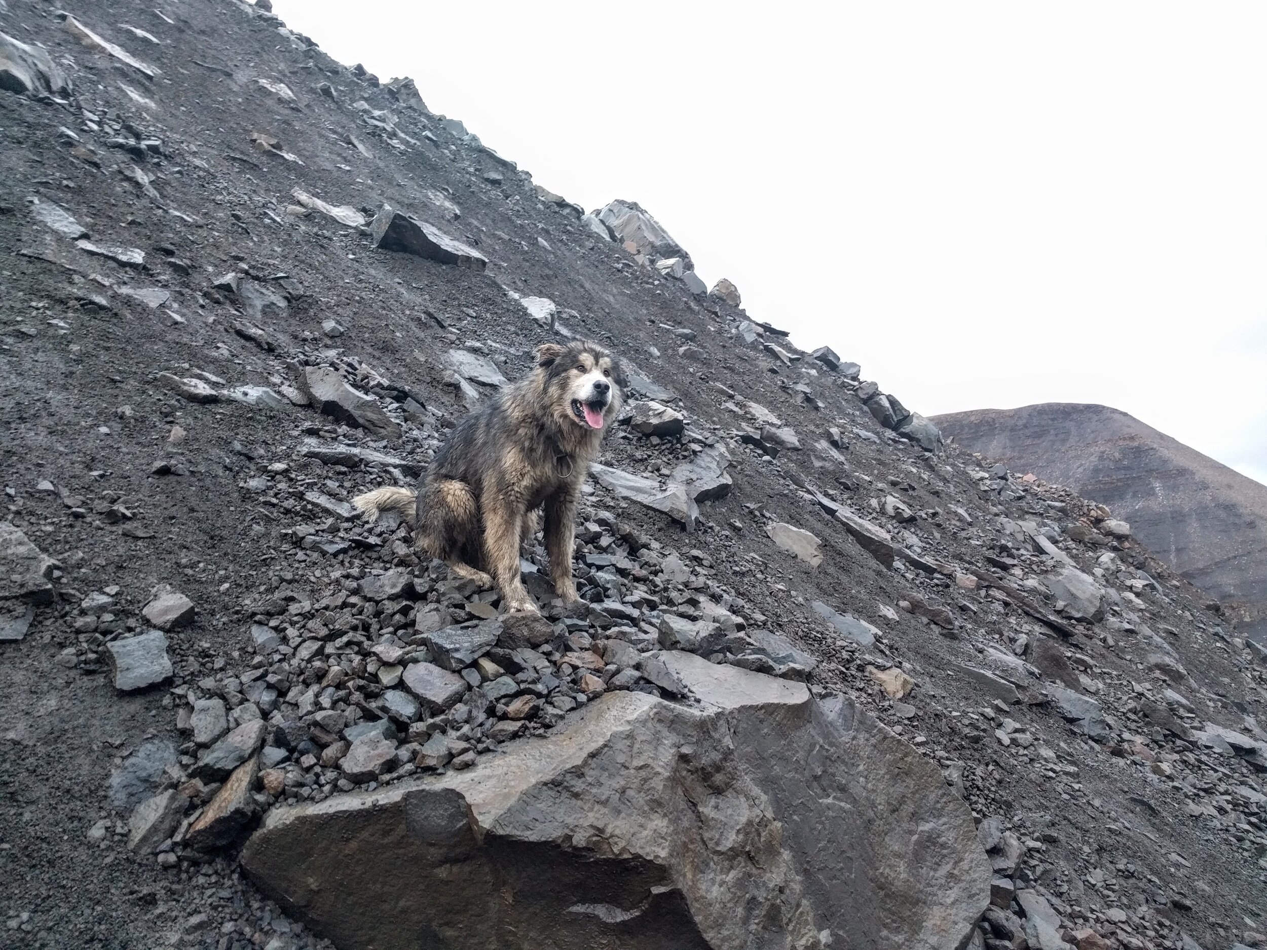
I booked a guided hike with Philipp of Polar Dogs Svalbard, and it was definitely the most memorable thing I did during my stay! Philipp was an accommodating and attentive guide with a great sense of humor. He made really great conversation and shared about his dynamic path to owning his own guiding business, as well as local Svalbard knowledge. He and his doggie Uminmak (musk ox in the Inuit language) picked me up at the Radisson Hotel and we headed out to Camp Barentz — but not before taking a cheesy tourist photo with the polar bear warning sign.
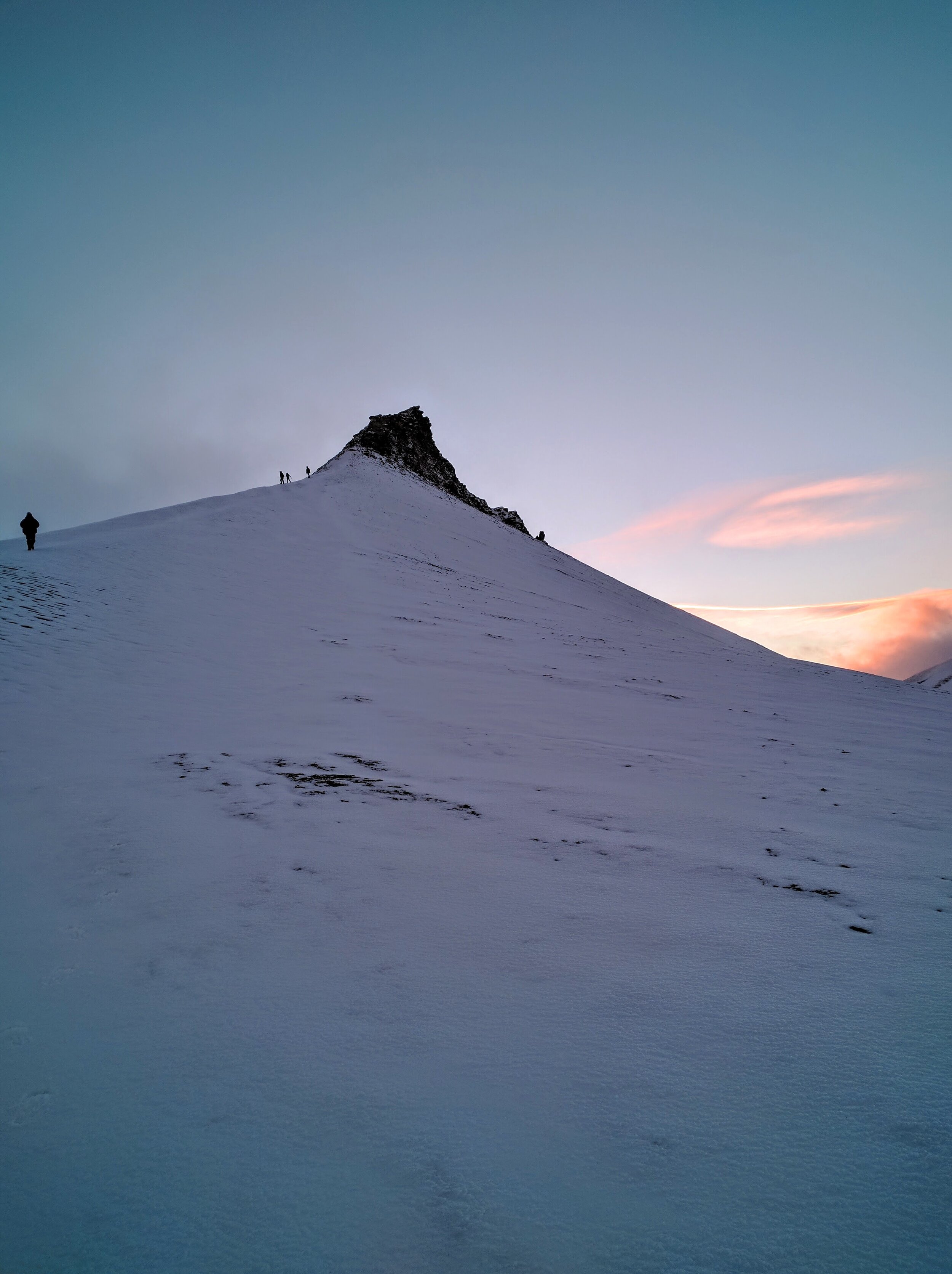
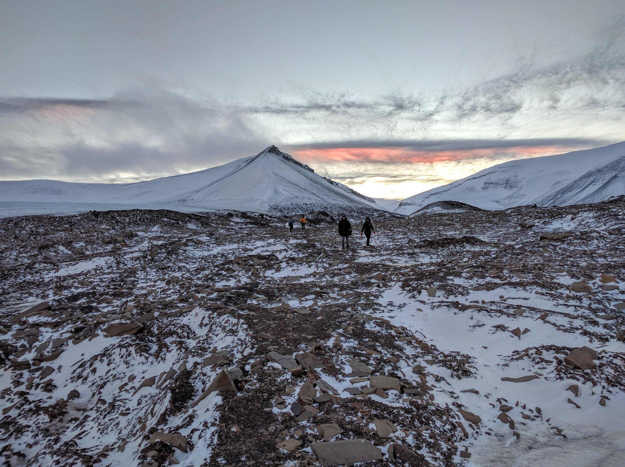
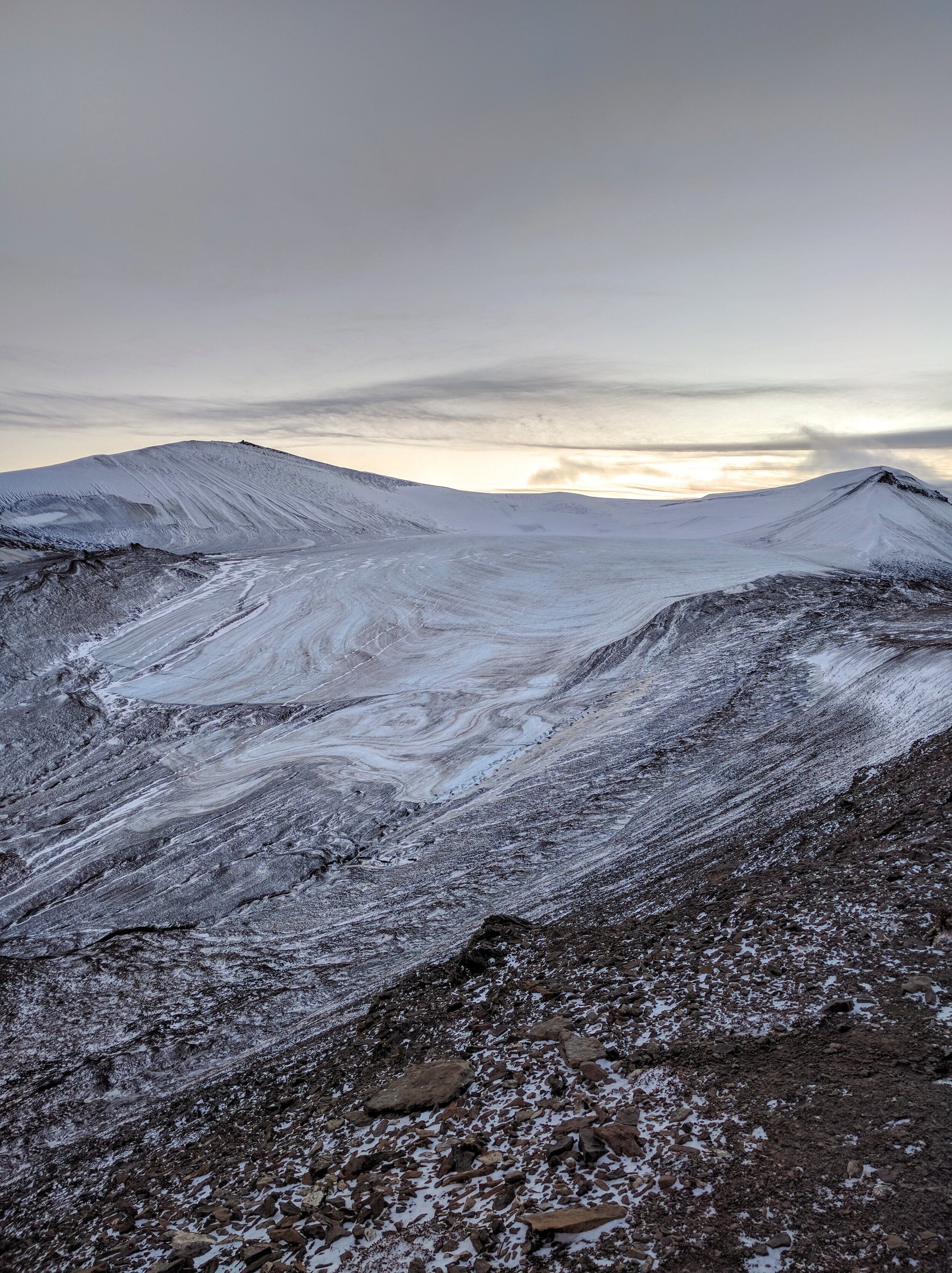
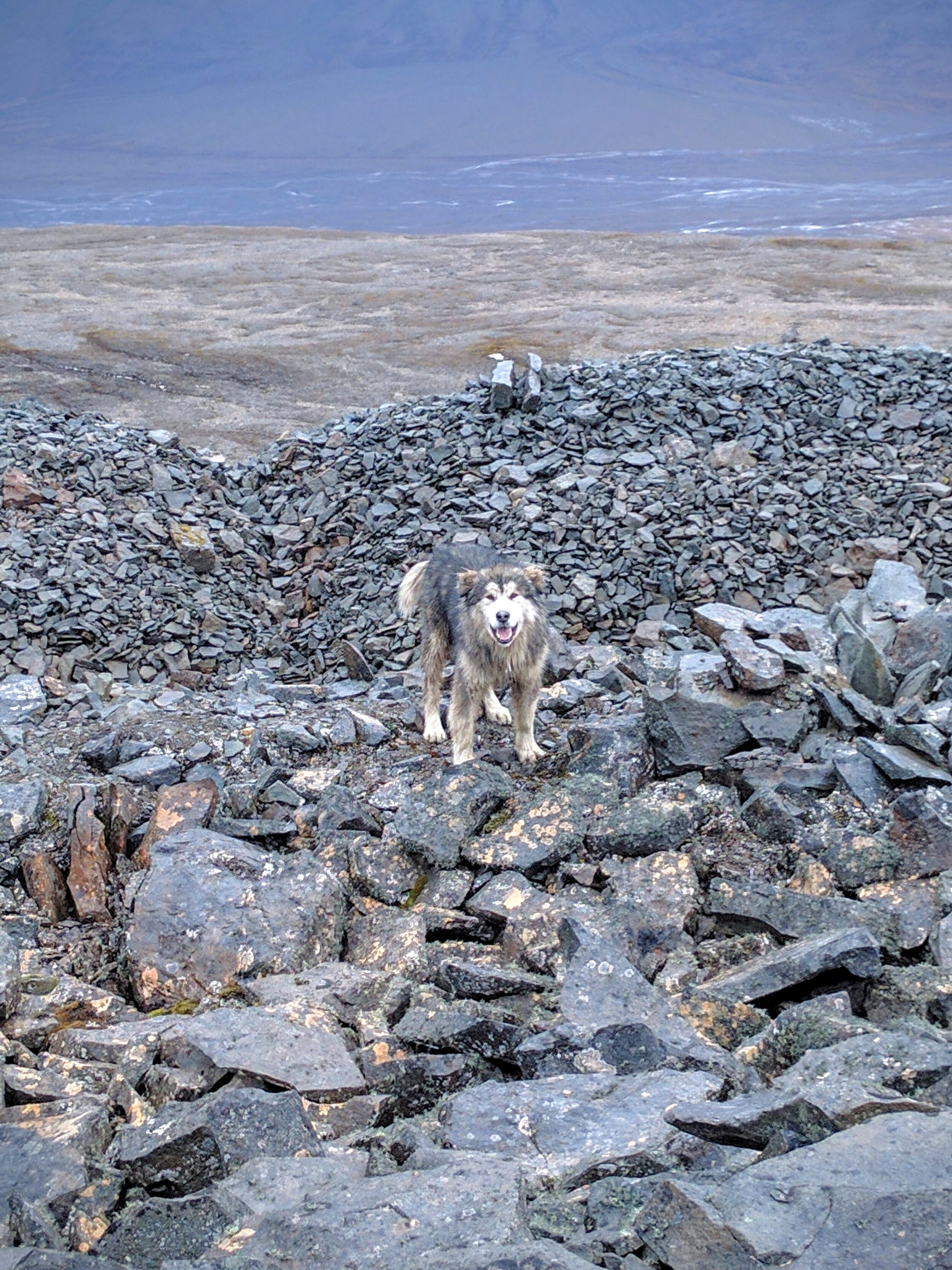
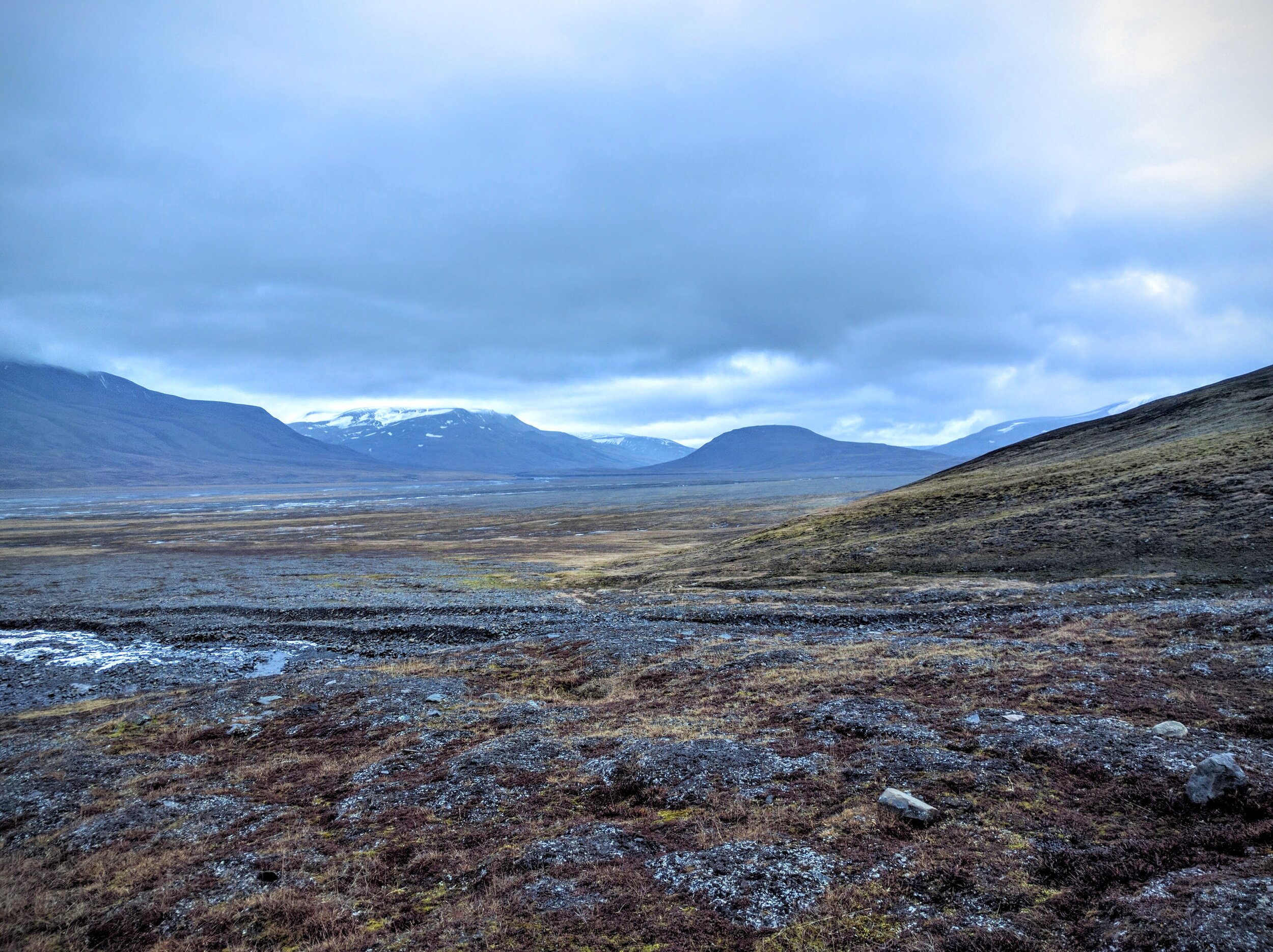
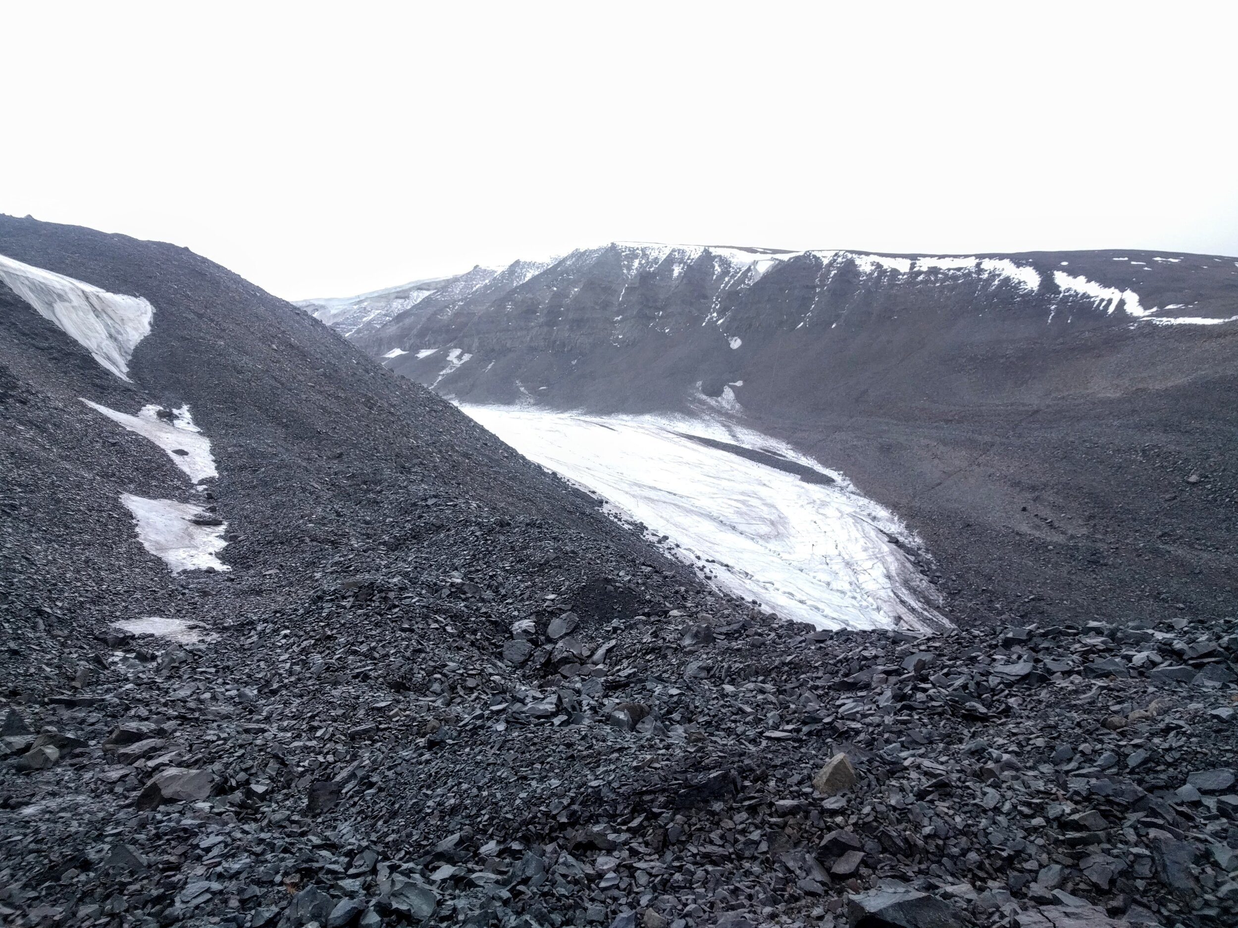
We walked through the river valley, and then up a narrow valley full of glacial moraine. On the other side was the Foxfanna glacier, which has two ‘arms’ and wraps around a mountain. The river valley we climbed back down into was so incredible vast and gigantic… It is crazy to imagine that at one point it was completely full of a glacier. After we had some lunch in the river valley, we headed back to Camp Barentz, and then dropped off Uminmak at Philipp’s home. He is settled on a lot a few kilometers outside town, with his five dogs where he lives in a yurt. At the time I was hiking with him, he was waiting for the municipality to assign him a more permanent place to live and keep his dogs. I really respected Philipp’s passion and drive to move to the end of the earth to pursue his outdoor passions! I would highly recommended booking a tour with Philipp if you make it to Svalbard — he intentionally keeps his groups small so that he can give more attention to individual guests and make it a more personal and enjoyable experience.
The day after my Polar Dogs hike I had booked a cruise to see Barentsburg, the Russian settlement on Svalbard, but the weather was so crummy that the boat had to turn back around — but not after making everyone on it seasick of course! I did get my money back, which was great.
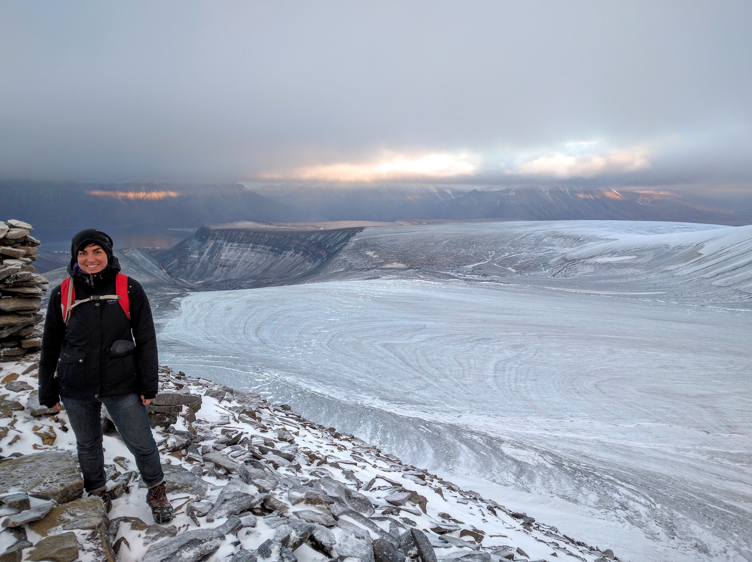
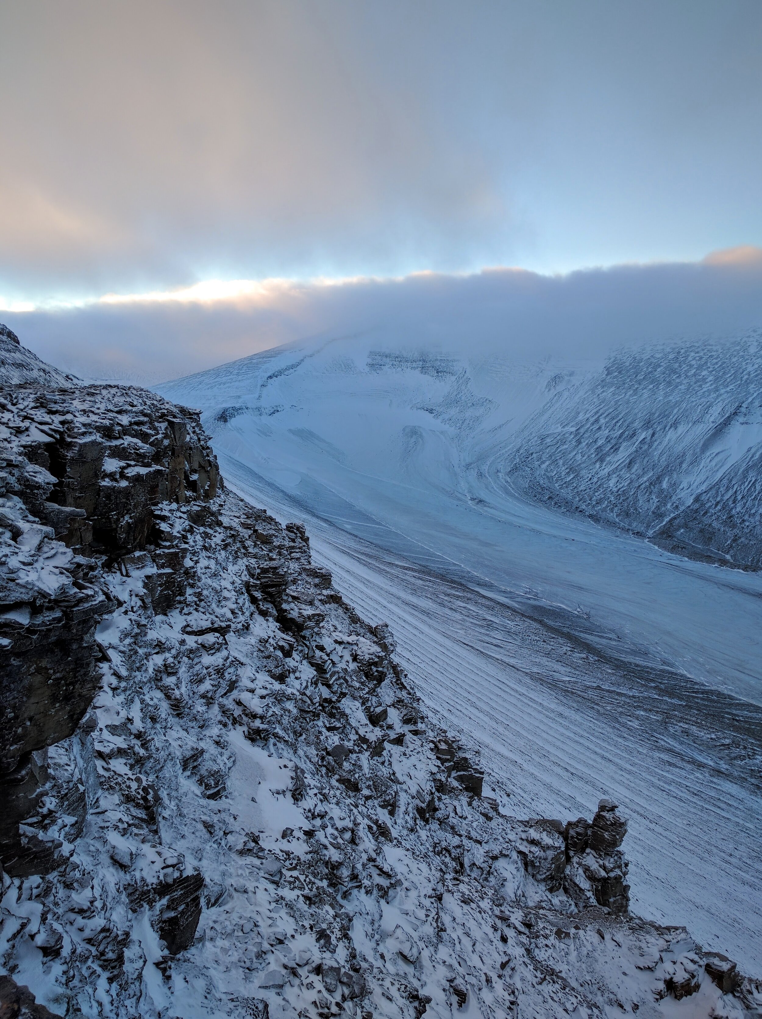
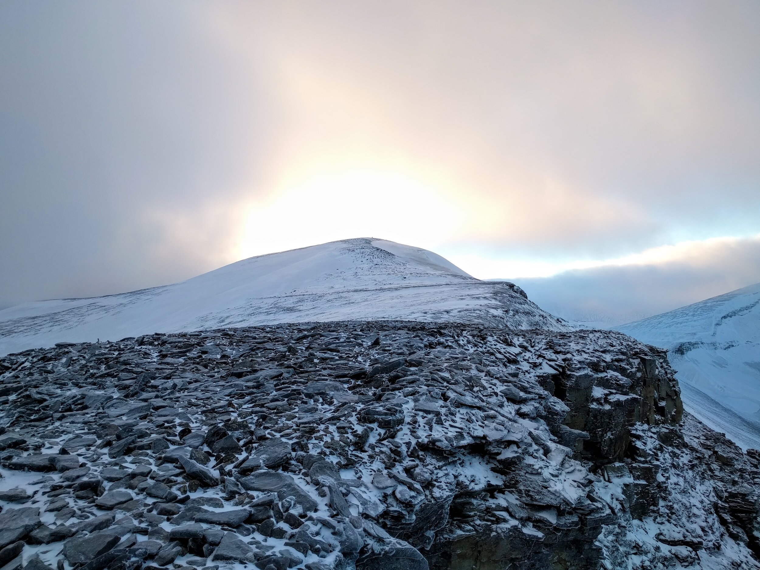
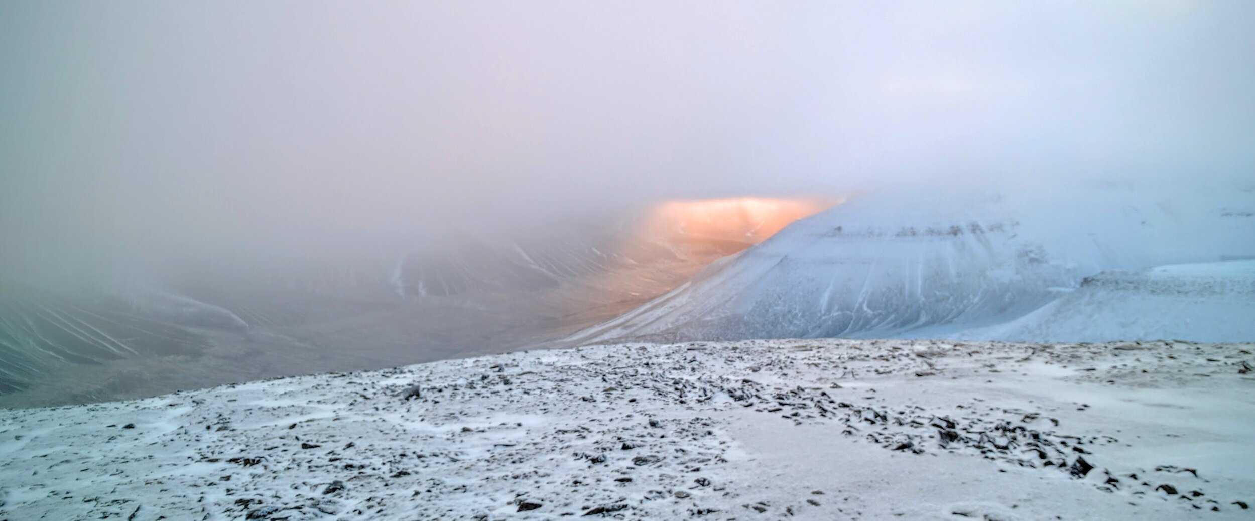
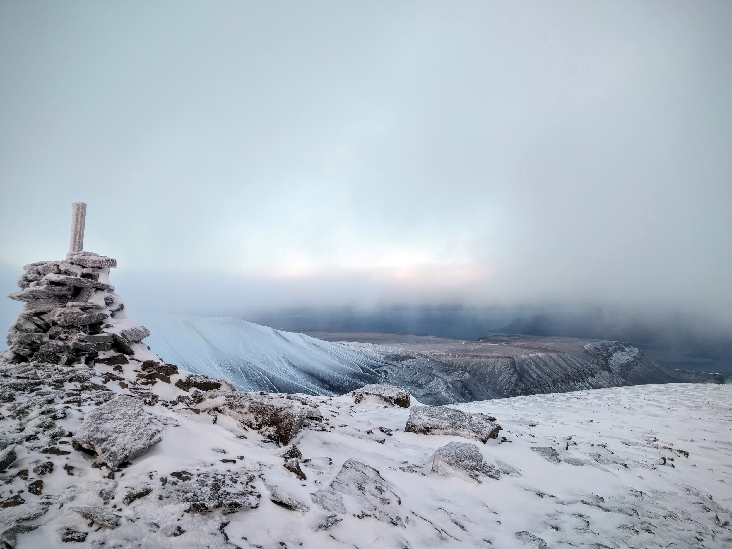
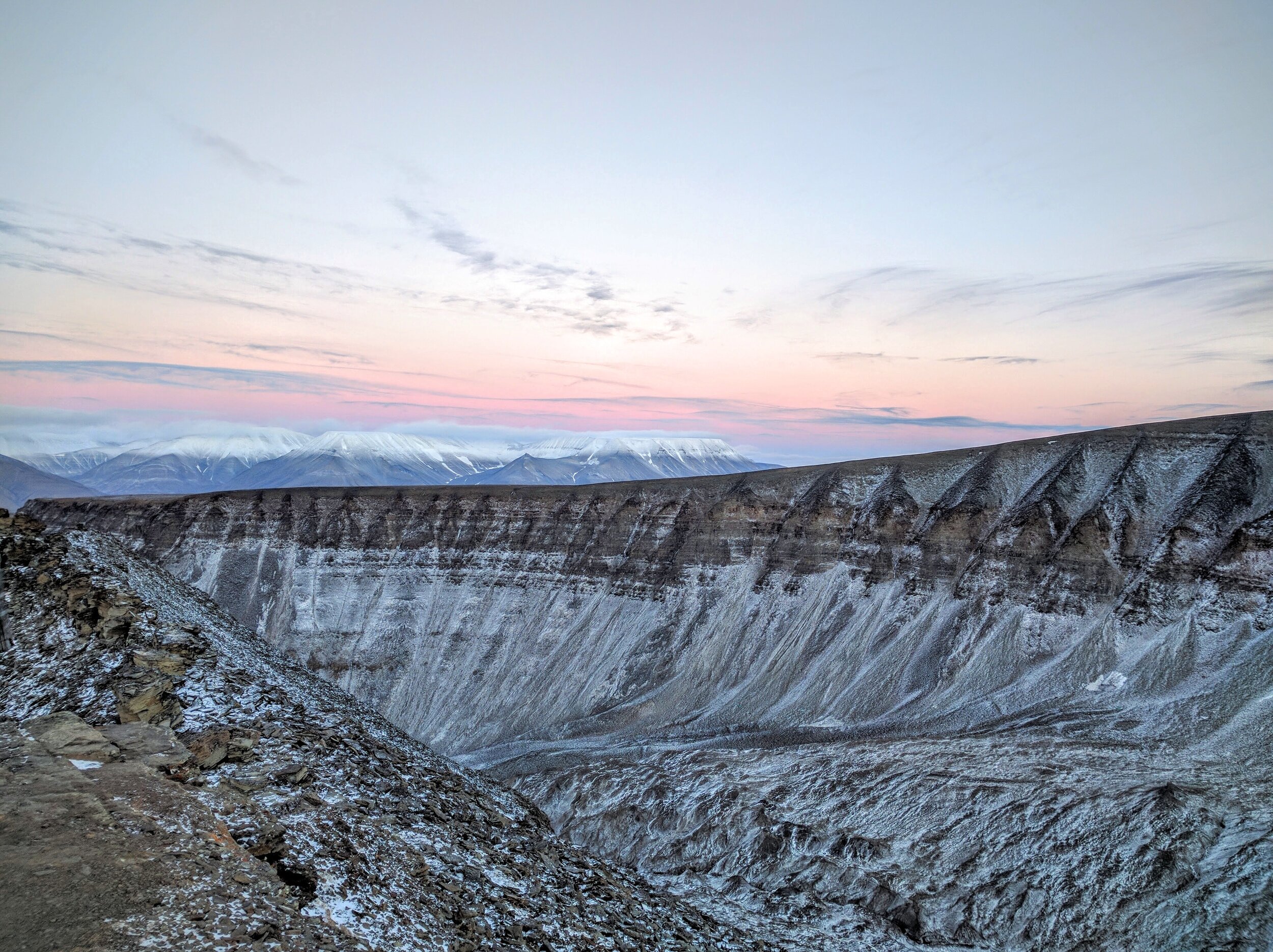
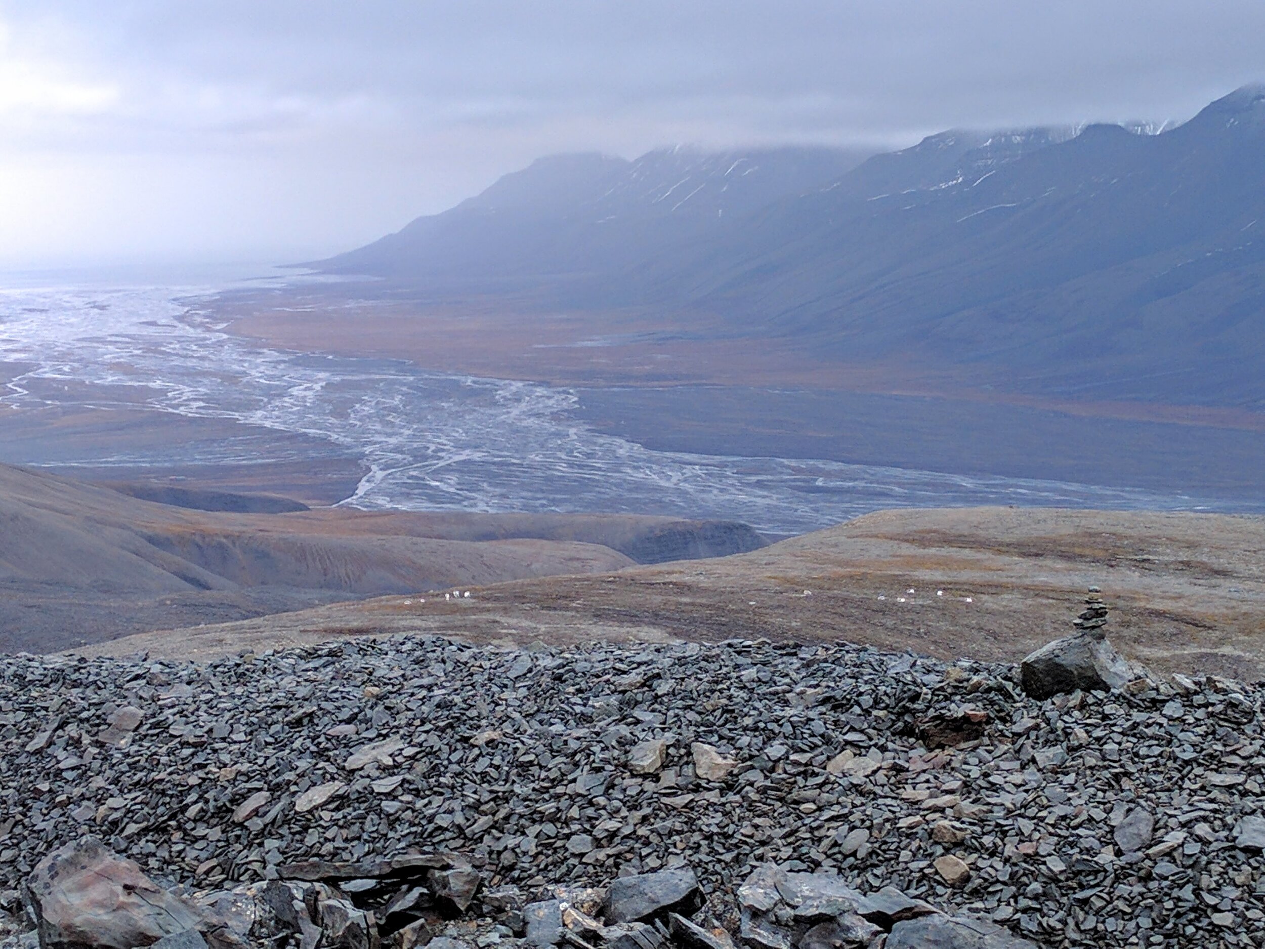
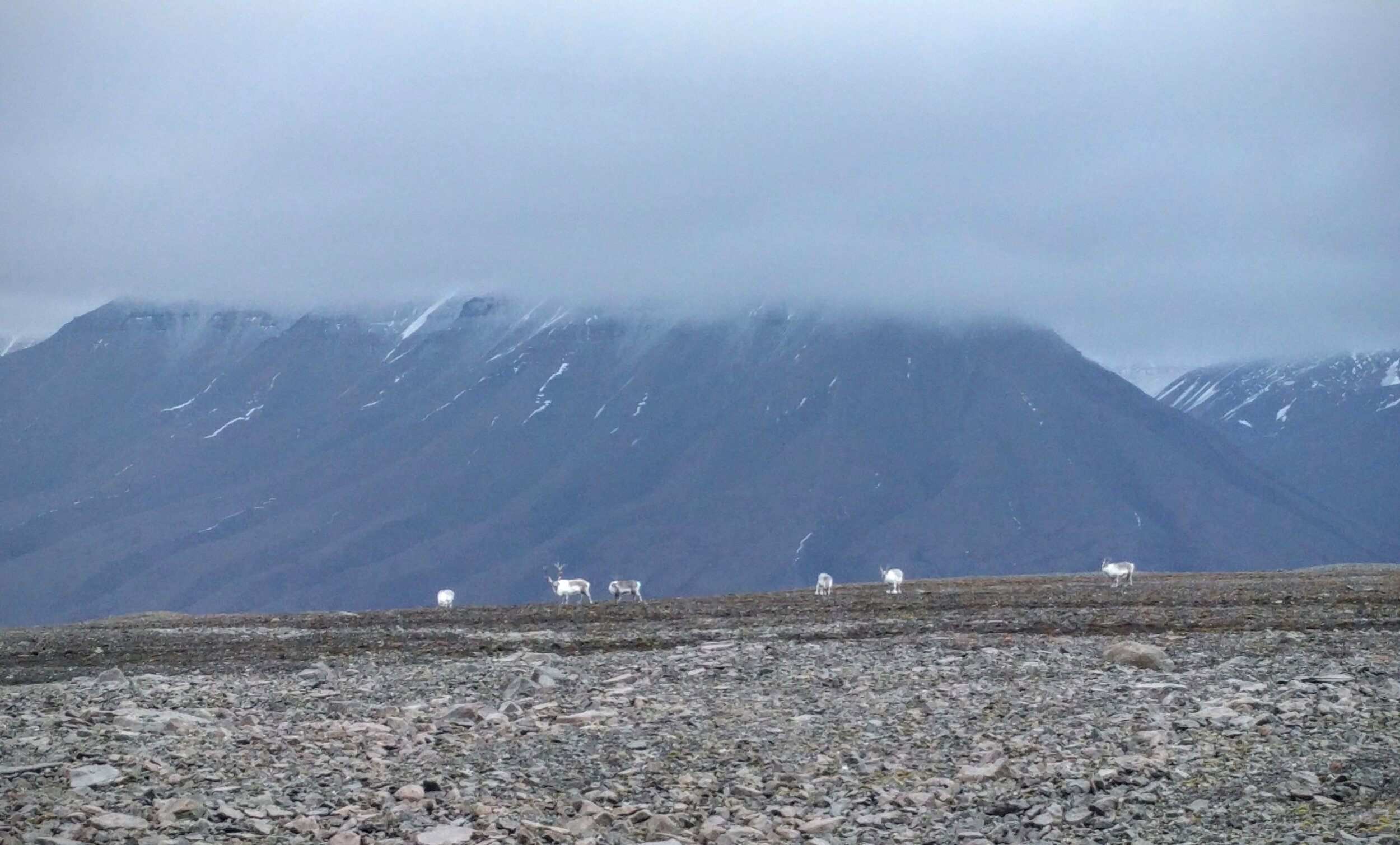
My last day on Svalbard I took a hike with Svalbard Wildlife Expeditions. It wasn’t as personal as my hike with Polar Dogs since there were 8 different people from all over the world and with different abilities in the group, but it was still beautiful. We left from the Nybyen (southeast) part of town, and walked up and over the Longyearbyen glacier that you can see from town. From there we went up and over a ridge to the top of a mountain (I cannot remember the name of the peak, but it wasn’t Trollsteinen) where we made it just in time to get a view. Not 10 minutes after we had reached the top, an icy cloud dropped over us and we had lunch our lunch inside a cloud — I don’t think I’ve ever been so cold.
We got some magnificent views of the mountains across the fjord which sit at about 900 meters above sea level, whereas the mountain we climbed was at about 450 meters. It was a much more challenging hike than the Foxfanna glacier hike, and I was so incredible tired by the end of the day, which is what I came to Svalbard for! I slept like such a baby that night, it was magnificent….